
Gandikota Gorge
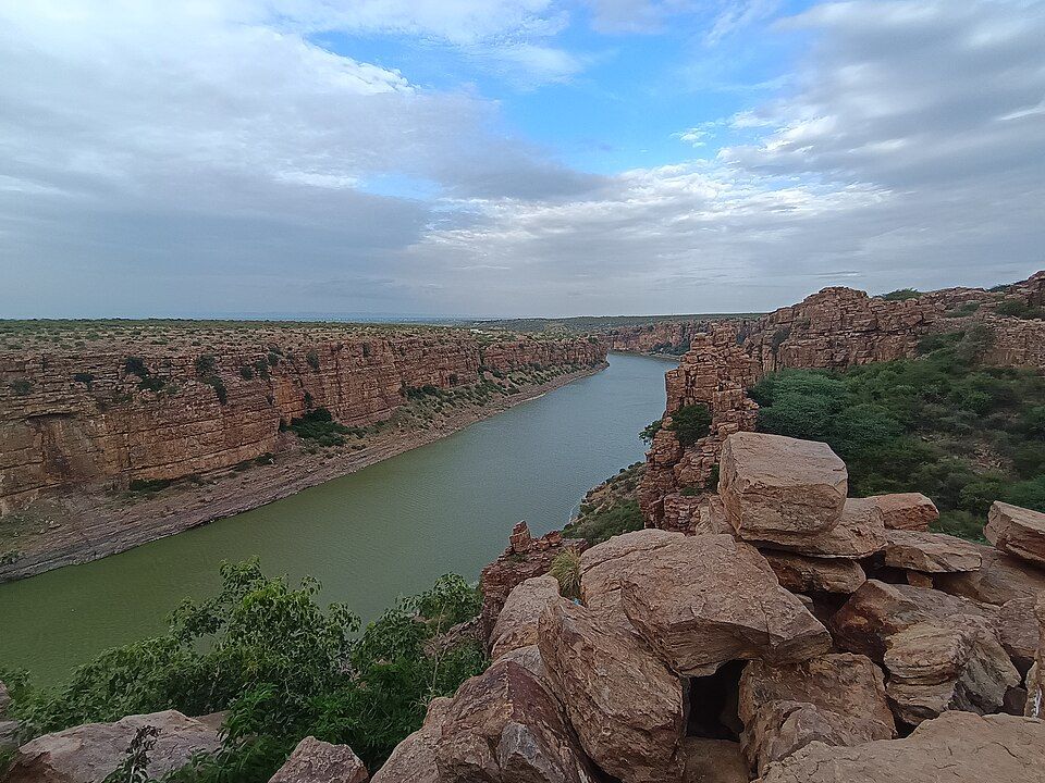
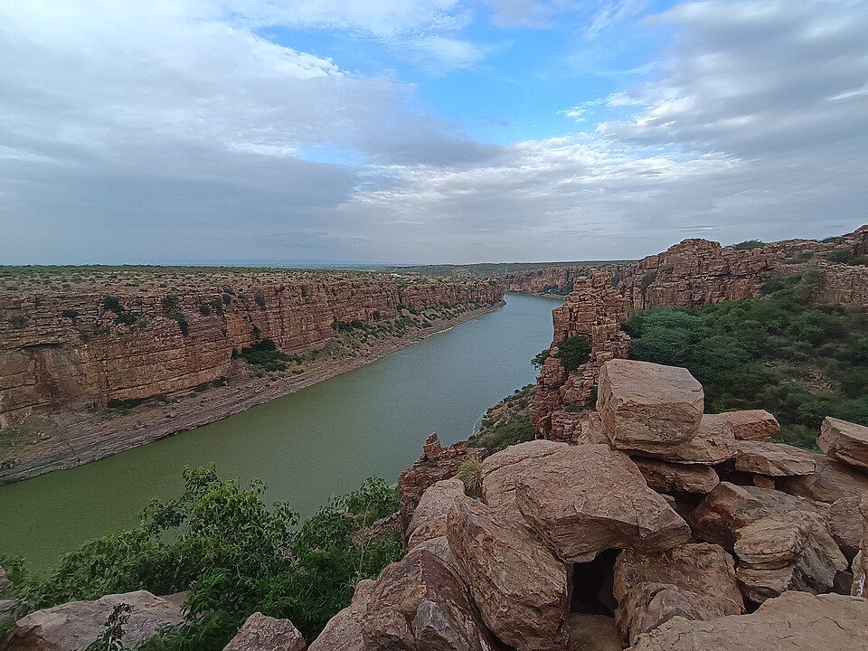
The Pennar River canyon, the site's central natural feature.
Offbeat Andhra Pradesh
Andhra Pradesh, India· Last updated
The main season, cool and comfortable for exploring the fort and gorge.
Nearest Airport
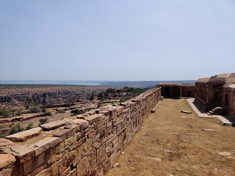
Gandikota sits in Kadapa district's Erramala Hills, a historic fortified village whose name literally means "Gorge Fort" — a fitting description for a site defined almost entirely by the dramatic gorge the Pennar River has carved through the landscape below, cliffs rising some 300 feet on either side of a river channel narrow enough in places to feel genuinely canyon-like. First established in 1123 under Kakatiya rule and later held by successive dynasties including the Vijayanagara Empire and Qutub Shahis, the fort itself contains ruins of granaries, a mosque, temples, and old jail structures, though the gorge view is what draws most visitors today. Gandikota suits travelers who want India's answer to a genuinely epic natural landform without international-tourist crowds — camping on the fort grounds overlooking the gorge, watching sunset paint the canyon walls, and simply sitting at the cliff edge taking in the scale are the site's main activities. Its remoteness (a genuine multi-hour drive from any major airport) has kept Gandikota firmly in "dedicated trip" territory rather than a casual add-on, rewarding travelers willing to make the journey specifically for this landscape.
Gandikota Gorge
The Pennar River canyon, the site's central natural feature.
Gandikota Fort
12th-century fortifications with granary, mosque, and temple ruins.
Madhavaraya Temple
A significant temple within the fort complex.
Belum Caves
India's second-largest cave system, roughly 60 km away.
Mylavaram Dam
An irrigation dam on the Pennar River, roughly 11 km from Gandikota.
The TripDnD Rate
Planning a stay in Gandikota?
Send us the property you're considering — anywhere online. Our rate desk works our partner network and negotiates a better rate for you. No booking fee.
Free to ask. You decide once you see the rate.
Nearest Airport: Kadapa Airport, approx. 85–90 km (limited flight connectivity); Tirupati Airport, approx. 220–226 km, and Bengaluru Airport, approx. 250–345 km, offer considerably better service. Nearest Railway Station: Jammalamadugu Railway Station, approx. 16–18 km; Kadapa Railway Station, approx. 77–90 km, for wider connectivity. By Road: From Kadapa, drive to Gandikota, roughly 85-90 km, taking approximately 1.5-2 hours; from Bengaluru, the full drive is roughly 280 km via Gooty, Tadipatri, and Jammalamadugu.
September–February: The main season, cool and comfortable for exploring the fort and gorge. March–June: Very hot, generally not recommended given the exposed, shade-free terrain. July–August: Monsoon season, the gorge and surrounding countryside notably greener.
A day trip covers the fort and gorge; an overnight camping stay allows for both sunset and sunrise.
Yes, though the cliff edges are unguarded in places, so caution and supervision are important, especially with children.
It requires a genuine multi-hour drive from the nearest well-connected airports, so it's best planned as a dedicated trip.
Belum Caves, roughly 60 km away, and Yaganti Temple further into Kurnool district.
Search any offbeat valley, village or state across India.
More to explore: offbeat places in Andhra Pradesh · all offbeat India · holiday packages