
Z-Point Viewpoint
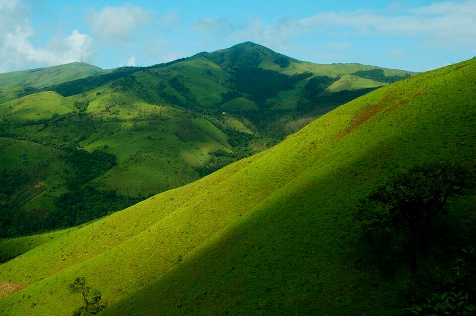
A dramatic panoramic viewpoint over the Baba Budangiri range.
Offbeat Karnataka
Karnataka, India· Last updated
The main season, cool and clear, ideal for the Z-Point viewpoint and waterfall visits.
Nearest Airport
Kemmangundi sits in the Baba Budangiri range within Chikmagalur district, a hill station developed originally as a summer retreat by the Diwan of Mysore in the early 20th century, its colonial-era rose garden and orderly layout still visible alongside the surrounding wild Western Ghats terrain. At over 4,600 feet, it offers a genuinely cooler climate than lower-altitude parts of Chikmagalur district, with the Z-Point viewpoint delivering one of the more dramatic panoramas in the range, and the nearby Kalhatti Falls adding a scenic detour for those exploring the wider area. Kemmangundi suits travelers already in the Chikmagalur area looking for a quieter, higher-altitude extension, as well as trekkers interested in the Baba Budangiri range's connections to nearby peaks. Rajapari Falls and the trek toward Kalasa add further options for a multi-day stay, while the well-maintained rose garden, unusual for a Western Ghats hill destination, gives Kemmangundi a slightly different character from the working-plantation feel found in most of Chikmagalur's other viewpoints. Its relative distance from Chikmagalur town (making it a genuine half-day excursion rather than a quick stop) has kept it quieter than more centrally located attractions in the district.
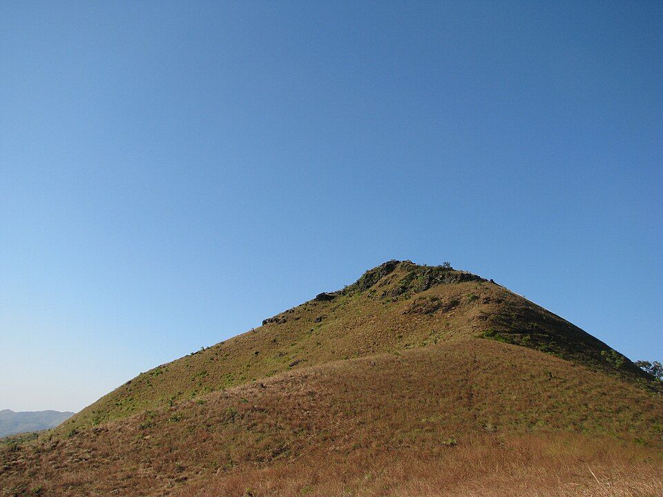
Z-Point Viewpoint
A dramatic panoramic viewpoint over the Baba Budangiri range.
Rose Garden
A colonial-era garden, distinctive within the surrounding wild Western Ghats terrain.
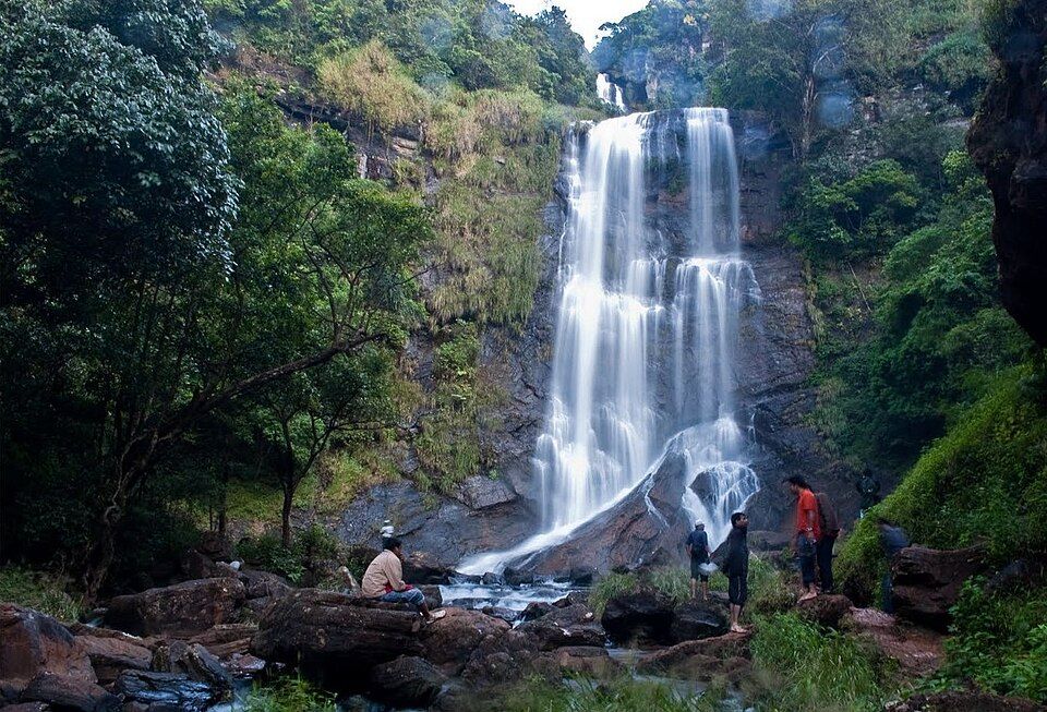
Kalhatti Falls
A waterfall near Kemmangundi, associated with a small temple.
Rajapari Falls
A further waterfall within trekking distance.
Baba Budangiri Range
The wider mountain range connecting Kemmangundi to nearby peaks and trekking routes.
The TripDnD Rate
Planning a stay in Kemmangundi?
Send us the property you're considering — anywhere online. Our rate desk works our partner network and negotiates a better rate for you. No booking fee.
Free to ask. You decide once you see the rate.
Nearest Airport: Mangaluru International Airport, approx. 150–170 km. Nearest Railway Station: Kadur Railway Station, approx. 75–85 km (via Chikmagalur). By Road: From Chikmagalur town, drive to Kemmangundi, roughly 55-60 km, taking approximately 1.5-2 hours on winding hill roads; regular buses run from Chikmagalur, with a private taxi being the more comfortable option given the distance.
October–February: The main season, cool and clear, ideal for the Z-Point viewpoint and waterfall visits. March–May: Warmer, still comfortable given the altitude. June–September: Monsoon season, dramatically green and misty, with waterfalls at their fullest, though visibility from viewpoints can be limited.
A half-day to full-day trip from Chikmagalur covers the main sights comfortably.
Yes, Z-Point and the rose garden require minimal walking; the waterfall treks offer more active options.
Roughly 55-60 km, about a 1.5-2 hour drive on winding hill roads.
Mullayanagiri and Baba Budangiri peaks, and Chikmagalur town itself.
Search any offbeat valley, village or state across India.
More to explore: offbeat places in Karnataka · all offbeat India · holiday packages