
Konkan Kada
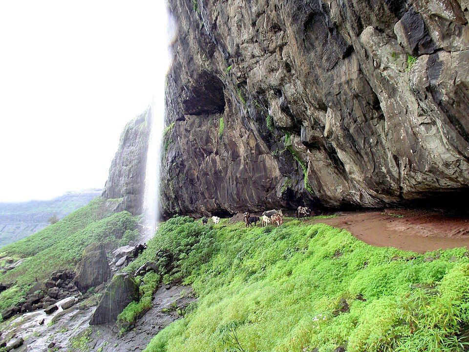
A massive concave cliff face with dramatic views toward the Konkan plains.
Offbeat Maharashtra
Maharashtra, India· Last updated

The main season, cool and clear, the most reliable window for the trek and Konkan Kada views.
Nearest Airport
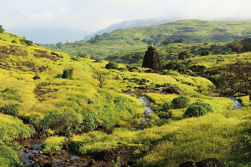
Harishchandragad is a hill fort in Ahmednagar district, at over 4,600 feet one of the higher and more challenging trekking destinations in the Sahyadri range, with a history stretching back to the 6th century under the Kalachuri dynasty and later fortification under both Mughal and Maratha control. Its defining natural feature is Konkan Kada, a massive concave cliff face that drops dramatically toward the Konkan plains below — a formation striking enough to have become one of the most photographed sights among Maharashtra's serious trekking community. Harishchandragad suits experienced trekkers rather than casual day-trippers — multiple routes lead to the summit, varying in difficulty, with the most popular starting points at Khireshwar and Pachnai villages. The fort's ancient Harishchandreshwar Temple and a network of caves, some used for centuries by ascetics and travelers, offer historical substance alongside the physical challenge, while overnight camping at Kokankada (the area near Konkan Kada) under genuinely dark skies has become a signature experience for trekkers willing to carry their own gear or rent tents from local villagers.
Konkan Kada
A massive concave cliff face with dramatic views toward the Konkan plains.
Harishchandreshwar Temple
An ancient temple within the fort, dating to the medieval period.
Taramati Peak
The highest point at Harishchandragad, the third-highest peak in Maharashtra.
Fort Caves
A network of caves historically used by ascetics, some suitable for overnight shelter.
Pachnai & Khireshwar Villages
The two main trekking base villages for the fort.
The TripDnD Rate
Planning a stay in Harishchandragad?
Send us the property you're considering — anywhere online. Our rate desk works our partner network and negotiates a better rate for you. No booking fee.
Free to ask. You decide once you see the rate.
Nearest Airport: Chhatrapati Shivaji Maharaj International Airport, Mumbai, approx. 150–180 km. Nearest Railway Station: Igatpuri Railway Station, approx. 41–77 km (varies by route and trailhead). By Road: From Mumbai, drive via Kasara and Malshej Ghat to Khireshwar or Pachnai village (the two main trailheads), roughly 150-180 km, taking approximately 4.5-5 hours; from there, the trek to the summit takes several hours depending on the route chosen.
October–February: The main season, cool and clear, the most reliable window for the trek and Konkan Kada views. March–May: Warmer, still trekkable with an early start and sufficient water. June–September: Monsoon season, dramatically green with waterfalls active, but trails become genuinely hazardous — this is a period requiring real caution and often best avoided by less experienced trekkers.
2 days is typical — trekking up and camping overnight, then descending the next day.
No, it's considered a moderately to genuinely challenging trek, better suited to trekkers with prior experience.
It requires real caution — trails become slippery and hazardous, and less experienced trekkers should generally avoid the monsoon season here.
Bhandardara and Kalsubai Peak, both within the wider trekking region.
Ready-made Maharashtra itineraries from TripDnD-verified local experts — customise dates, stays and pace.

2N Mumbai · 2N Shirdi · 2N Aurangabad
Maharashtra · 6 Nights / 7 Days
From
₹33,000
per person
Search any offbeat valley, village or state across India.
More to explore: offbeat places in Maharashtra · all offbeat India · holiday packages